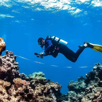
The Great Barrier Reef Marine Monitoring Program (MMP) reports on the condition of inshore water quality, coral and seagrass habitats in the Marine Park. The MMP informs managers and the wider community about the annual health and long-term condition of these ecosystems, particularly in relation to nutrients and sediments associated with land-based runoff.
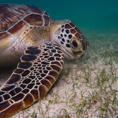
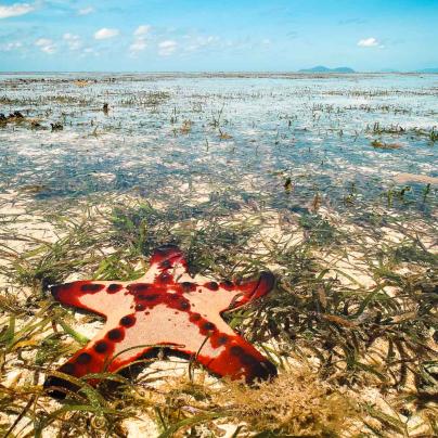
The inshore region of the Reef includes a diverse range of ecosystems, such as seagrass meadows and coral reefs, that support unique biodiversity and are rich nursery and feeding grounds for many iconic species. However, due to its proximity to land, the inshore region and its ecosystems are often exposed to poor water quality associated with sediment and nutrient inputs from land-based runoff and flood plumes.
Water quality is a key issue for the health of the Great Barrier Reef, its catchments and for the communities, industries and ecosystems that rely on good water quality. Substantial investment is being undertaken by Australian and Queensland governments to halt and reverse the decline of water quality entering the Reef lagoon under the Reef 2050 Water Quality Improvement Plan.
The Great Barrier Reef Marine Monitoring Program (MMP) was established in 2005 to assess the long-term status and health of inshore ecosystems. It is an integral component of the Paddock to Reef Integrated Monitoring, Modelling and Reporting Program , assessing long-term improvement in regional marine water quality arising from improved land management practices in Reef catchments.
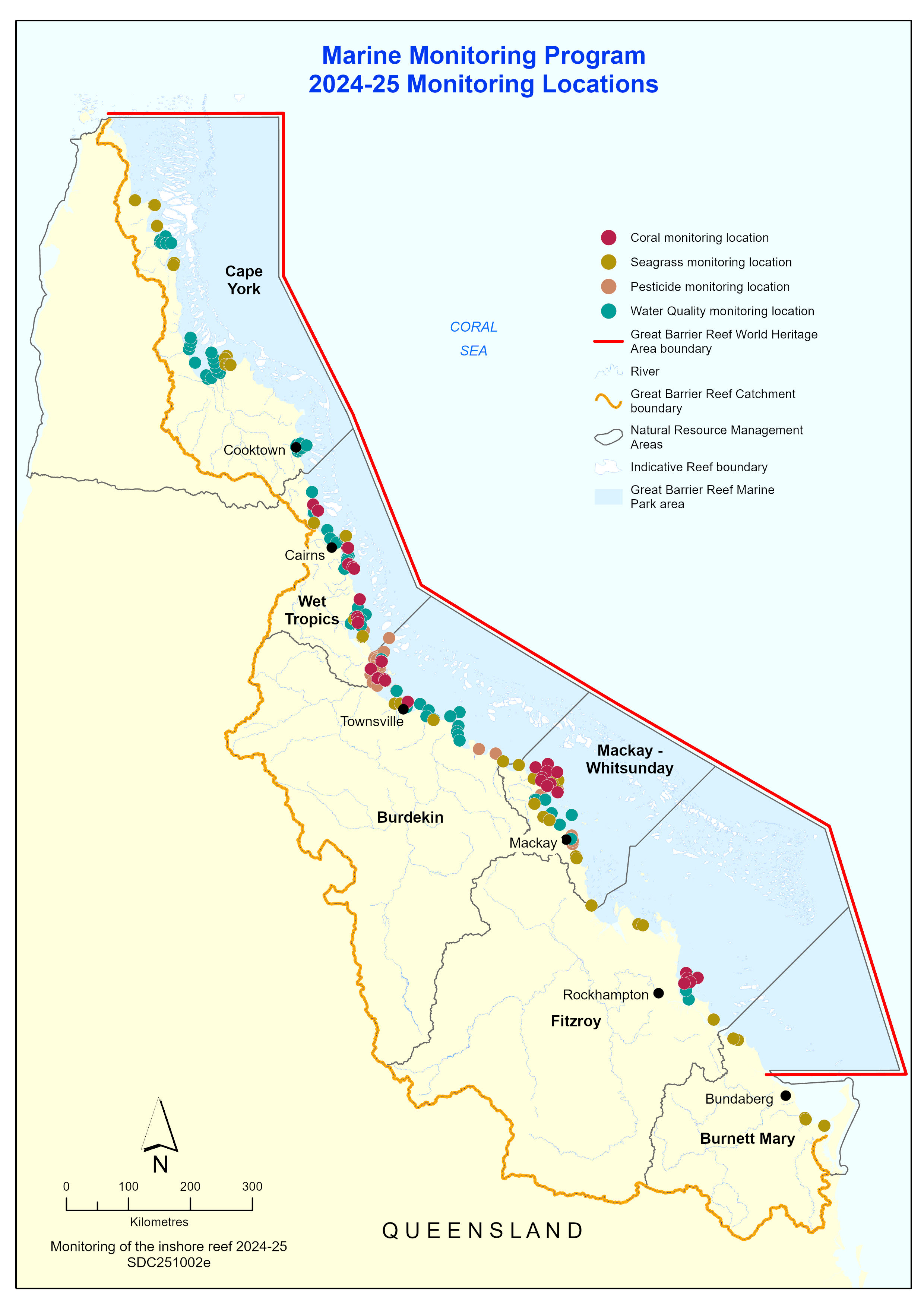
The MMP carries out routine monitoring of inshore water quality, coral and seagrass condition every year, as well as opportunistic river plume monitoring after extreme events such as floods and cyclones.
The 2024-25 Synthesis Report and 2024-25 Summary Booklet provide summary results of the latest monitoring year findings and long-term trends with reference to 20 years of data. Results can also be viewed on our interactive dashboard via the Reef Knowledge System. The 2024-25 MMP technical reports for each monitoring component are available on the Reef Authority’s elibrary.
To learn more about the 2024-25 monitoring year findings click on the links below:


Who is involved?
The MMP is a collaboration between:
- Great Barrier Reef Marine Park Authority
- Australian Institute of Marine Science,
- James Cook University,
- Cape York Water Partnership
- University of Queensland
with important contributions from CSIRO’s eReefs, Traditional Owners, the Reef Joint Field Management Program, Seagrass-Watch, and i-Sea.